No edit summary |
No edit summary |
||
| (4 intermediate revisions by the same user not shown) | |||
| Line 1: | Line 1: | ||
{{#tweekihide:firstHeading}}{{#arraymap:Evidence,Vision,Action | {{#tweekihide:firstHeading|sidebar-right}} | ||
Welcome to the UNLOCK15-Toolbox - we are collecting tools to empower „agents of change“ from civil society as well as city officials to unlock existing lock-ins. We hope you will find some relevant tools to drive change towards mobility transition in your context! | |||
From experience, three types of tools are need for real change: tools to create and communicate evidence, tools to envision possible futures and scenarios and participatory tools for on-site action. | |||
{{#arraymap:Evidence,Vision,Action | |||
|, | |, | ||
|xxx | |xxx | ||
|{{#semorg-list:toolbox | |{{#semorg-list:toolbox | ||
|links= | |||
|title=xxx | |title=xxx | ||
|query=[[semorg-toolbox-tool-type::xxx]] | |query=[[semorg-toolbox-tool-type::xxx]][[semorg-toolbox-visualisation::+]] | ||
|card template=toolbox | |card template=toolbox | ||
|nopagination | |nopagination | ||
|limit=3 | |limit=3 | ||
}} | |order=rand | ||
|intro=<div class="mb-2">{{xxx-intro}}</div> | |||
}}[[xxx|more tools for xxx…]] | |||
| | | | ||
}} | }} | ||
Latest revision as of 14:04, 19 May 2026
Welcome to the UNLOCK15-Toolbox - we are collecting tools to empower „agents of change“ from civil society as well as city officials to unlock existing lock-ins. We hope you will find some relevant tools to drive change towards mobility transition in your context!
From experience, three types of tools are need for real change: tools to create and communicate evidence, tools to envision possible futures and scenarios and participatory tools for on-site action.
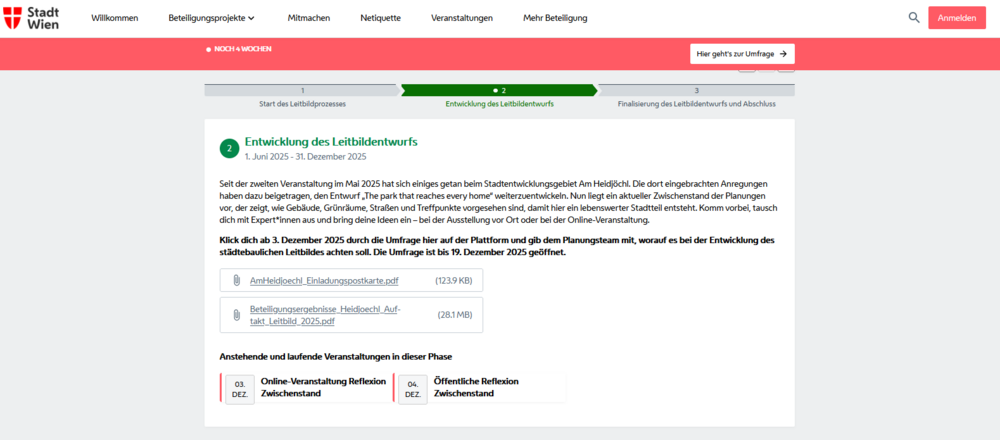
Centralized participation plattform
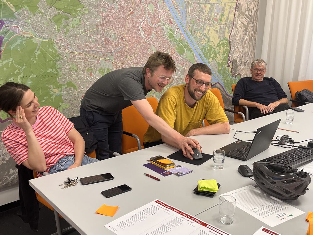
Joint Survey between initiatives and district politics
A joint survey between district politics and initiatives has potential to drive change. A survey means to ask inhabitants of an area what they like or don't like about status quo and what they want to change. The initiative has local knowledge of the area and knows what is important to ask. The survey results give politicans guidance what kind of change is backed up by the inhabitants. From our experience a joint survey is possible when
- all involved people are amicable towards each other
- there is a third neutral party (for example science project or neighbourhood management) that coordinates the process
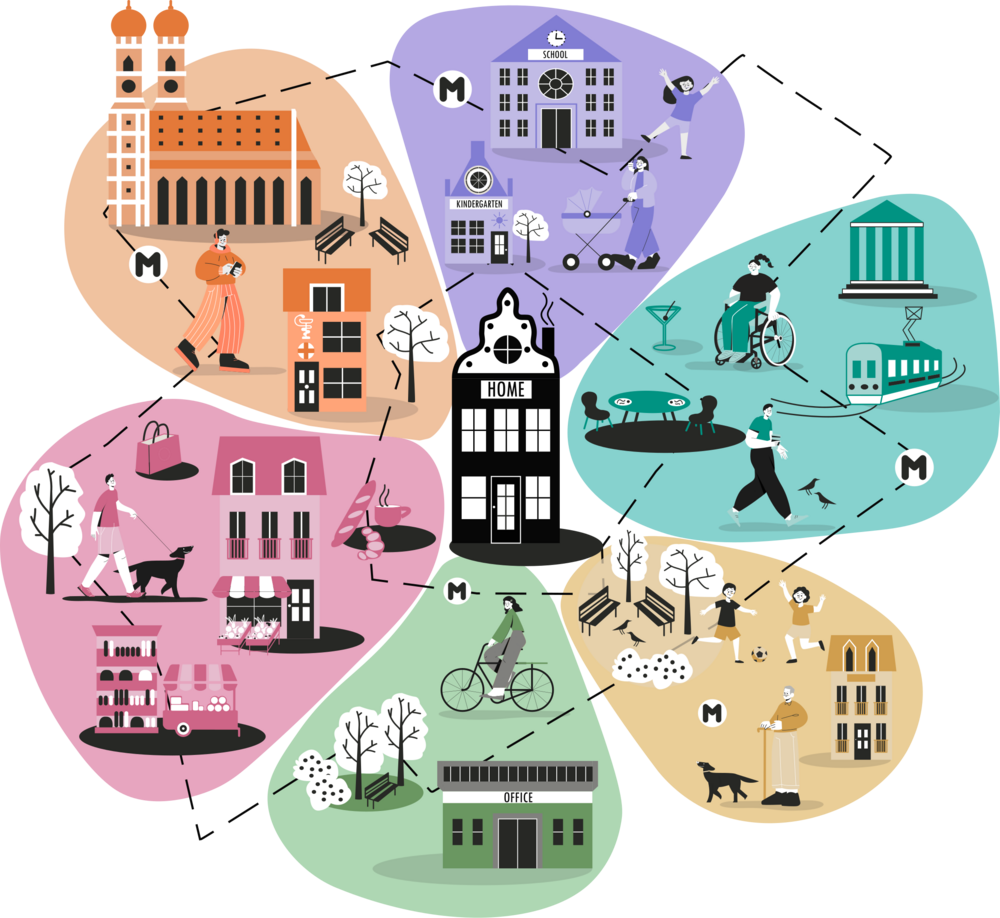
Measuring the 15-min city: Flowers of Proximity
Forecasting change
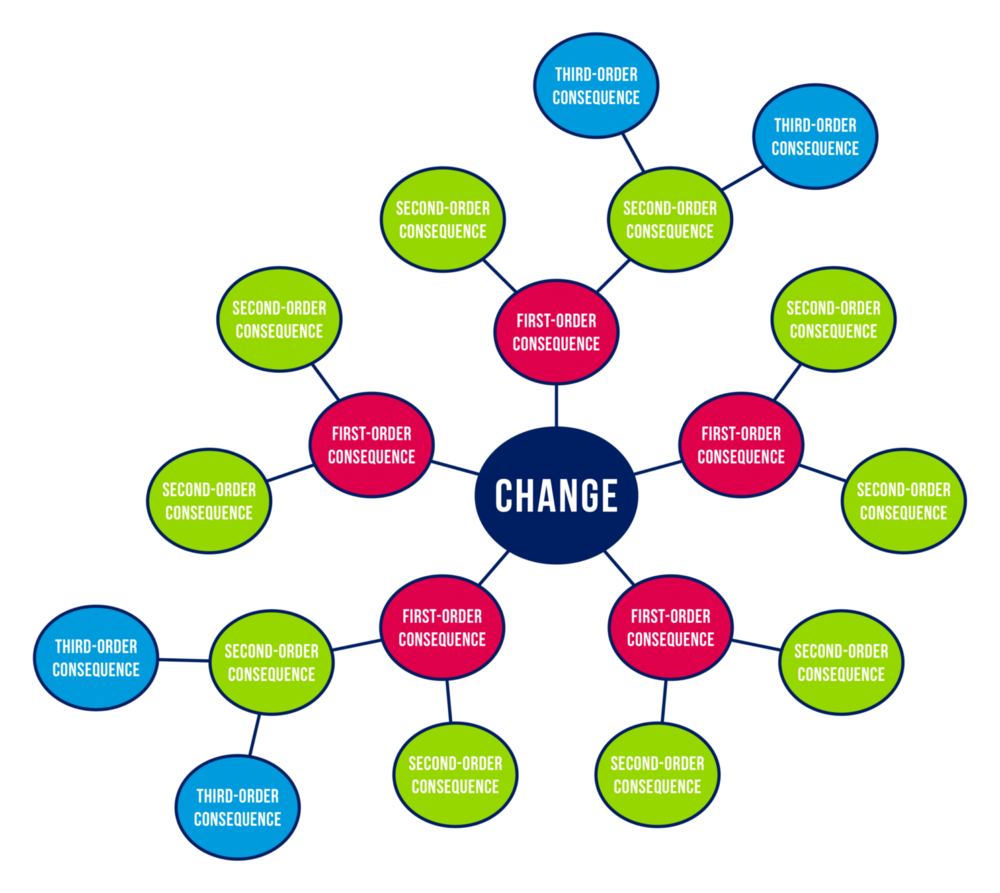
The Futures Wheel is a visual foresight and brainstorming tool invented by American futurist Jerome C. Glenn in 1971, designed to graphically map the primary, secondary, and tertiary consequences of a specific event, trend, or change using a circular diagram with concentric rings radiating from a central hub.
The method works by placing a central change or issue at the core of the diagram — for example, a new policy, a social trend, or a strategic decision — and then working outward in layers. The first ring captures direct, first-order consequences; from each of those, a second ring of second-order consequences is generated, and so on — surfacing implications beyond the immediate and obvious, and helping develop an understanding of causality through ripple effects.
Understanding your target groups

Task & Maintenance: What makes groups work?

Bikebus
Streetgames