From Unlock15
Evidence
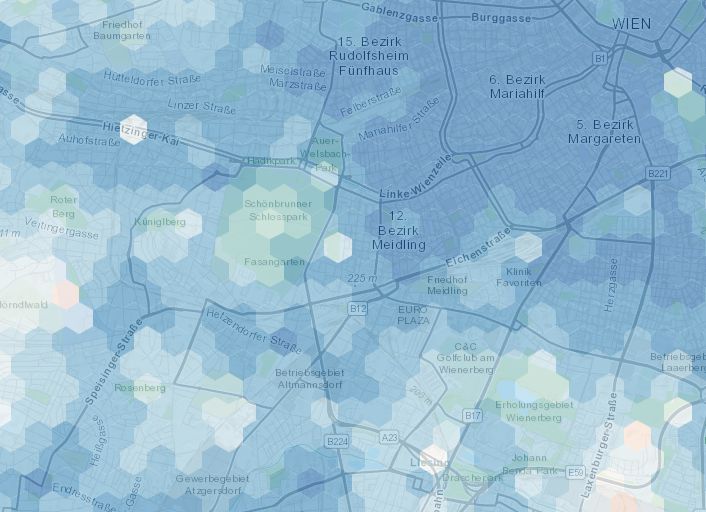
15min-City online Maps
The map shows how close services are if one lives in different areas of the city: in red areas the time needed to access the closest services is on average higher than 15 minutes, while the blue are 15-minute areas. We consider the average time of accessibility to the closest 20 POIs.
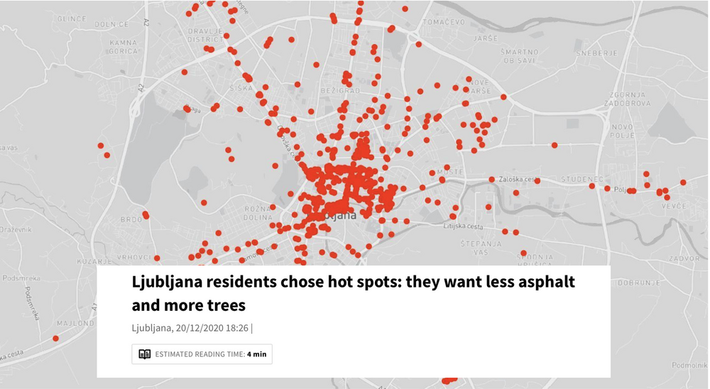
Collaborative heat maps
This tool allows you to create collaboratively maps! Drawing from the knowledge of many people, maps can become a powerful communication tool.
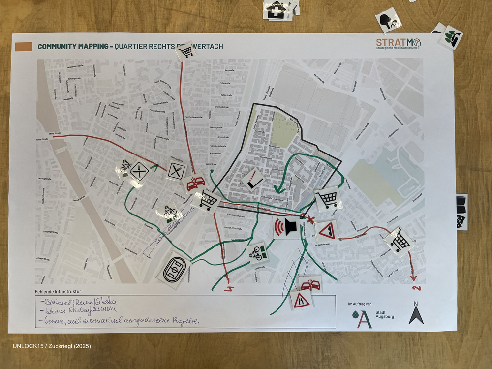
Community mapping
Collaboratively mapping maps about a neighbourhood can shed light on factors that influence everyday transport-related decisions.
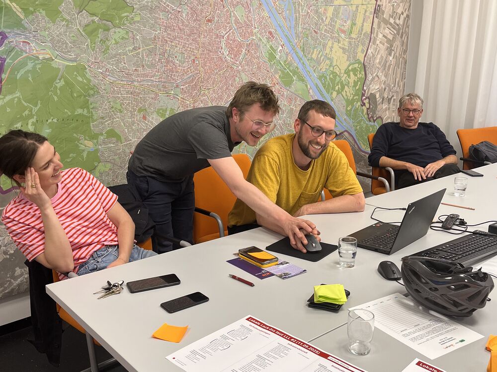
Joint Survey between initiatives and district politics
In Vienna they managed something extraordinary: They did a survey collaboratively between district politics, administration and civil society. This has a lot of potential for different reasons: