crosswalk action
Gamification of climate friendly behaviour
Joint Survey between initiatives and district politics
A joint survey between district politics and initiatives has potential to drive change. A survey means to ask inhabitants of an area what they like or don't like about status quo and what they want to change. The initiative has local knowledge of the area and knows what is important to ask. The survey results give politicans guidance what kind of change is backed up by the inhabitants. From our experience a joint survey is possible when
- all involved people are amicable towards each other
- there is a third neutral party (for example science project or neighbourhood management) that coordinates the process
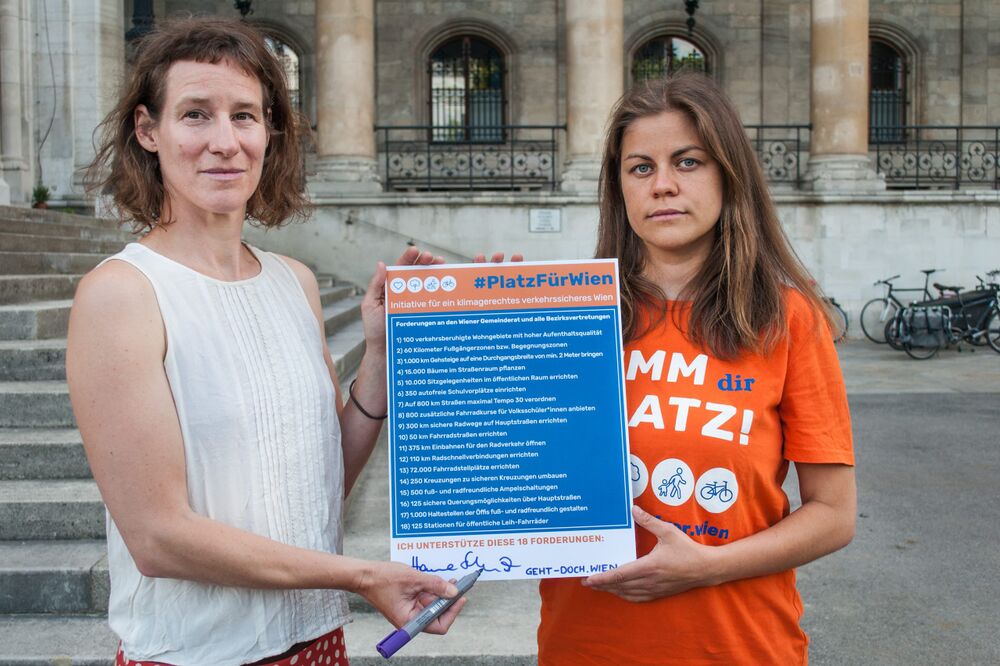
Making specific demands that are backed up by evidence
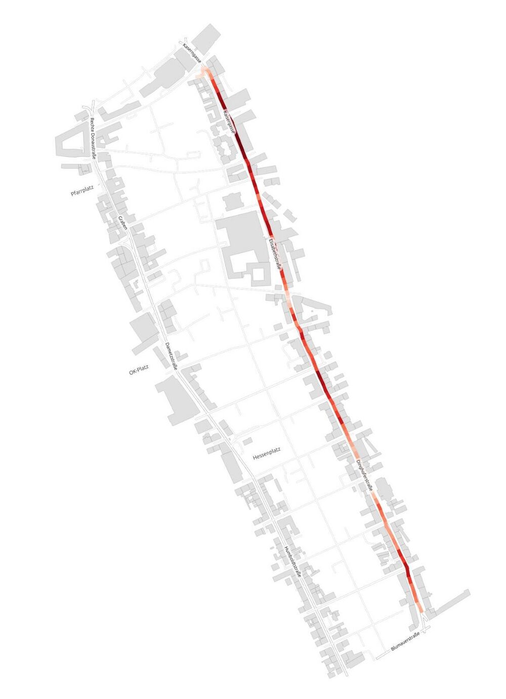
Measuring the speed of public transport
We can’t reduce the speed limit on this road because the busses would loose time!“ This or similar arguments may come up in discussions about street transformations. Maybe with your local knowledge you think: „Because of the frequent stops, the local busses don’t go beyond 30 km/h anyways.“ In those situations, it can help to bring evidence for your argument into the discussion. For example by measuring the speed of busses. Think in advance how to make your data collection as valid as possible within your ressources. To produce solid evidence about the speed of public transport we suggest the following steps:
- Make a plan how you will collect your data: What do you want to measure (one busline in both directions between bus stop X and Y), when (on peak/off peak, which days) and how often (how many times per day)
- Install an App that collects GPX-Tracks (data that links speed with location)
- Ride the busses according to your data collection plan
- Find someone who knows how to use QGIS (open source program for making maps) and install the plug-in for GPX Segment importer (https://plugins.qgis.org/plugins/GpxSegmentImporter/#plugin-about)
- If everything works out the result should be maps like the ones you see here.
- Think about how you want to communicate the data: In a confidential setting or rather to a bigger audience?

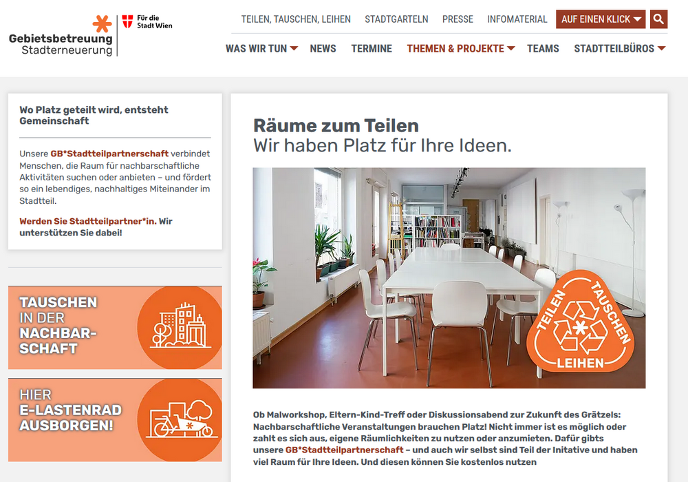
Placemobil - Tactical Urbanism