From Unlock15
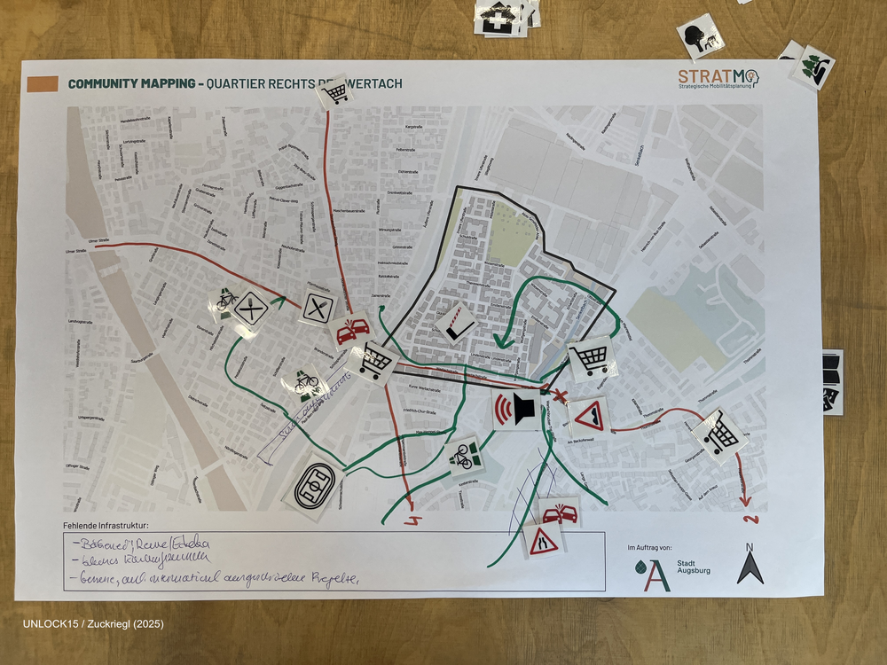
Community mapping
Collaboratively mapping maps about a neighbourhood can shed light on factors that influence everyday transport-related decisions.
Joint Survey between initiatives and district politics
A joint survey between district politics and initiatives has potential to drive change. A survey means to ask inhabitants of an area what they like or don't like about status quo and what they want to change. The initiative has local knowledge of the area and knows what is important to ask. The survey results give politicans guidance what kind of change is backed up by the inhabitants. From our experience a joint survey is possible when
- all involved people are amicable towards each other
- there is a third neutral party (for example science project or neighbourhood management) that coordinates the process
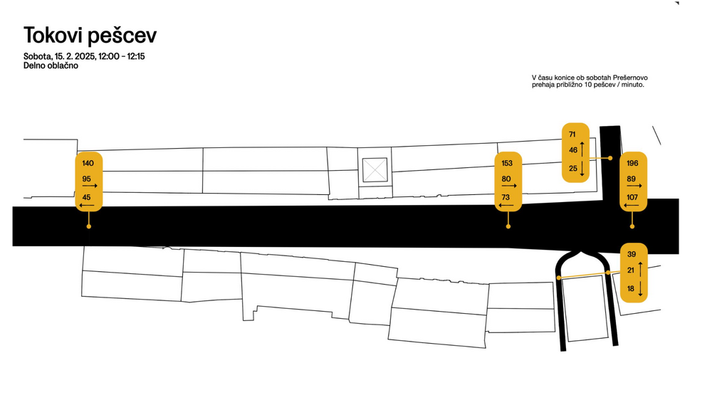
Observing and visualising human behaviour in public space
Collecting data on how people use space can give you a solid foundation to discuss how it should be designed. The free public live app helps you to collect the data you need when observing people. The second link leads you to a website where you can download an analog version with excel sheets. The picture is an example how you could visualise the collected data, done by urban design studio prostorož.

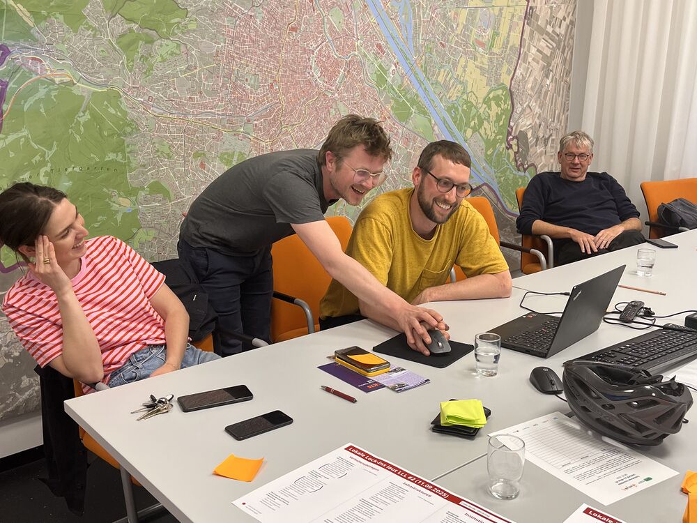
Regulars table for district politics and initiatives
In this format district politics and initiatives meet up in a casual setting. This benefits everyone: On the one hand politicans can efficently update several initiatives at the same time and get wind of citizens troubles related to urban space at an early stage. Initiatives on the other hand get insights and can discuss their visions and potential future collaborations.