Evidence
From Unlock15
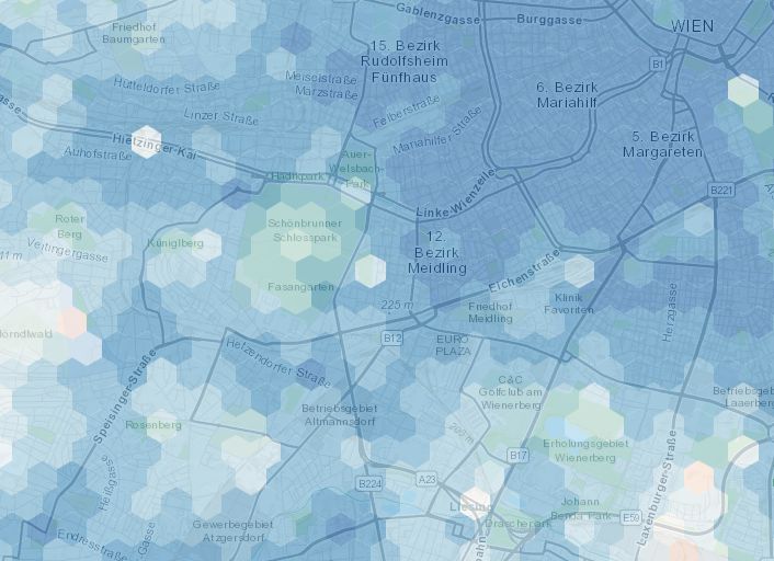
15min-City online Maps
The map shows how close services are if one lives in different areas of the city: in red areas the time needed to access the closest services is on average higher than 15 minutes, while the blue are 15-minute areas. We consider the average time of accessibility to the closest 20 POIs.
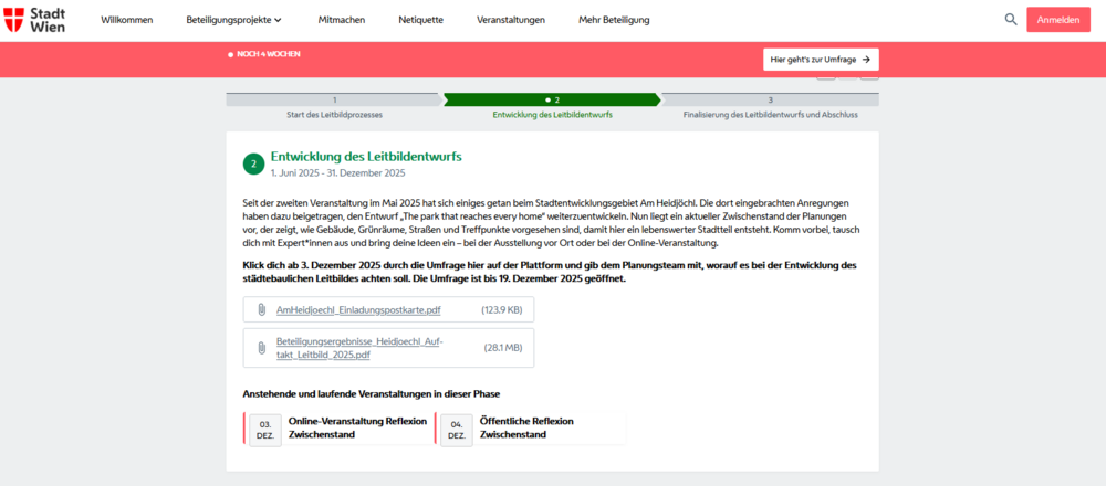
Centralized participation platform
"Mitgestalten.wien" is an example for a centralized participation plattform. We used it to run a survey for Unlock15 in Vienna about the future development of a street. "decidim.org" and "govocal.com" are plattforms that can help you set up a centralised participation plattform.
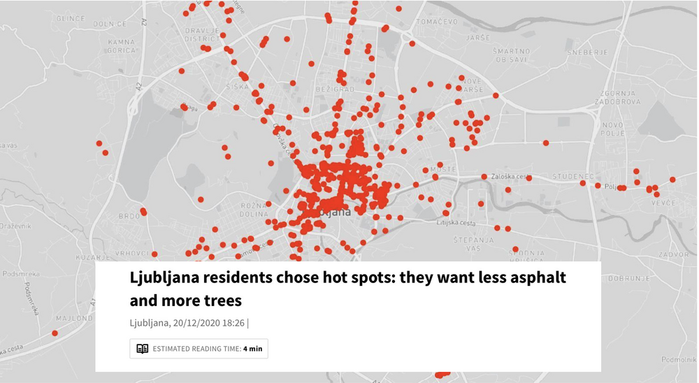
Collaborative heat maps
This tool allows you to create collaboratively maps! Drawing from the knowledge of many people, maps can become a powerful communication tool.

Collect signatures to back up your local vision!
You have a very clear picture of the local change you want to achieve? You want to show decision makers how much support your vision locally has? Then a petition might be your cup of tea to drive change.
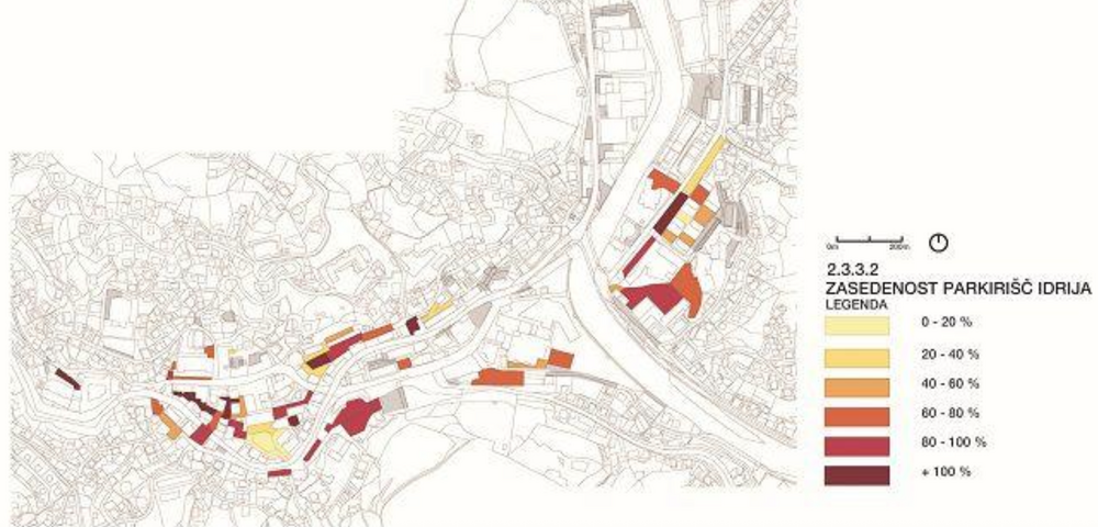
Collecting data about parking occupancy
Opponents of street transformation often claim, that there are to little parking possibilities. But is that true? Evidence in Ljubljana showed that the city has rather a problem with how parking space is unevenly occupied.
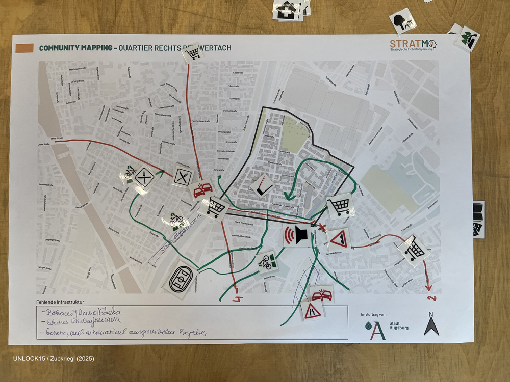
Community mapping
Collaboratively mapping maps about a neighbourhood can shed light on factors that influence everyday transport-related decisions.
Indicators for measuring the impact of innovative projects
To systematically measure the impace of of innovative mobility projects and initatives.
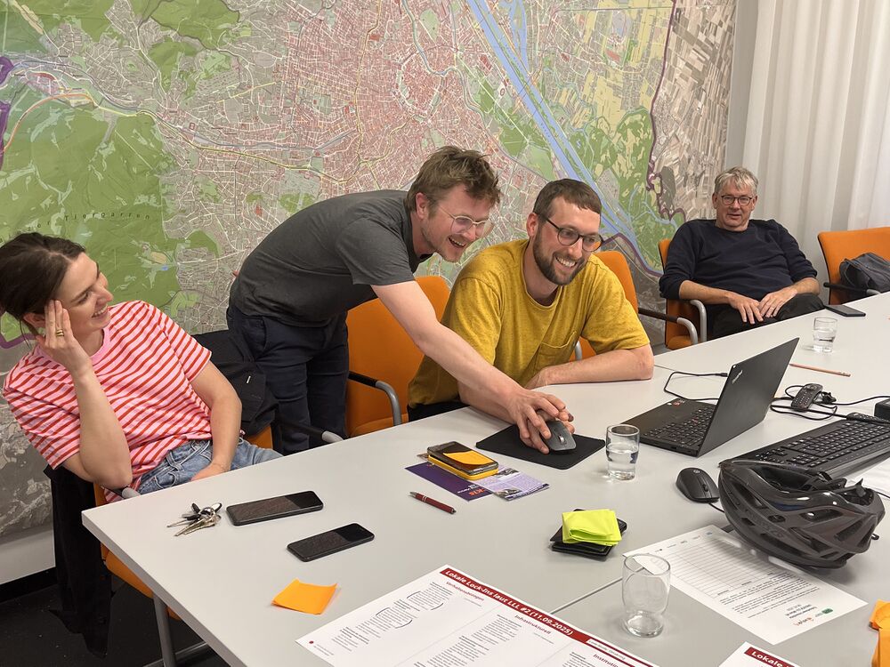
Joint Survey between initiatives and district politics
In Vienna they managed something extraordinary: They did a survey collaboratively between district politics, administration and civil society. This has a lot of potential for different reasons:
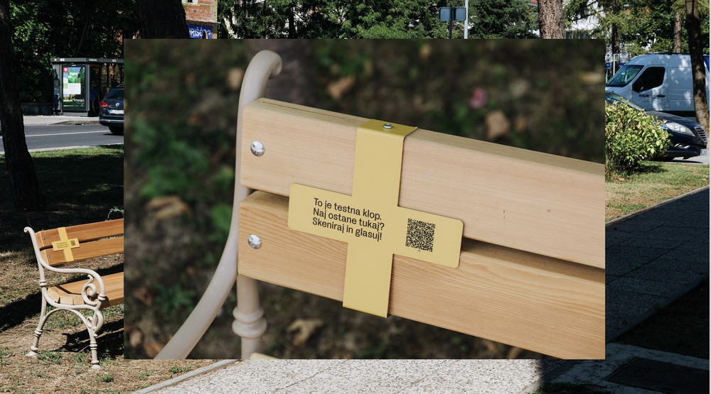
Low effort survey in public space
The picture stems from Ljubljana, where the urban design studio prostorož set up benches in public space. They attached a QR-Code, where people could vote if they wanted this bench to stay. The outcome will suprise you!
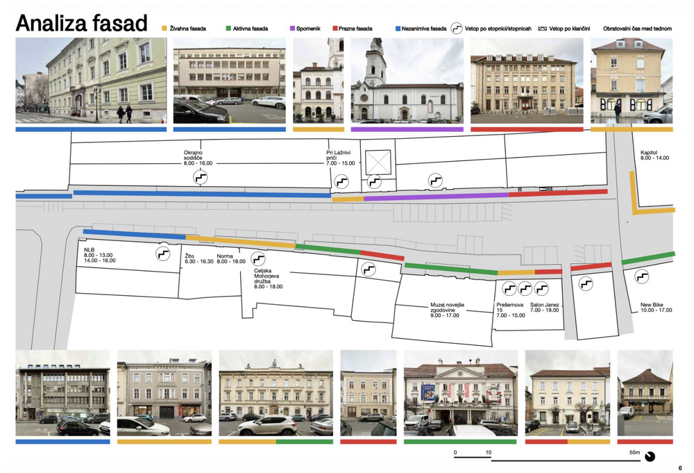
Mapping and analysing facades
"We need parking space otherwise our shops will die!" This is an argument often brought forward by opponents of street transformation. The urban design studio prostorož confronted this claim with evidence. Read more about how they did it!
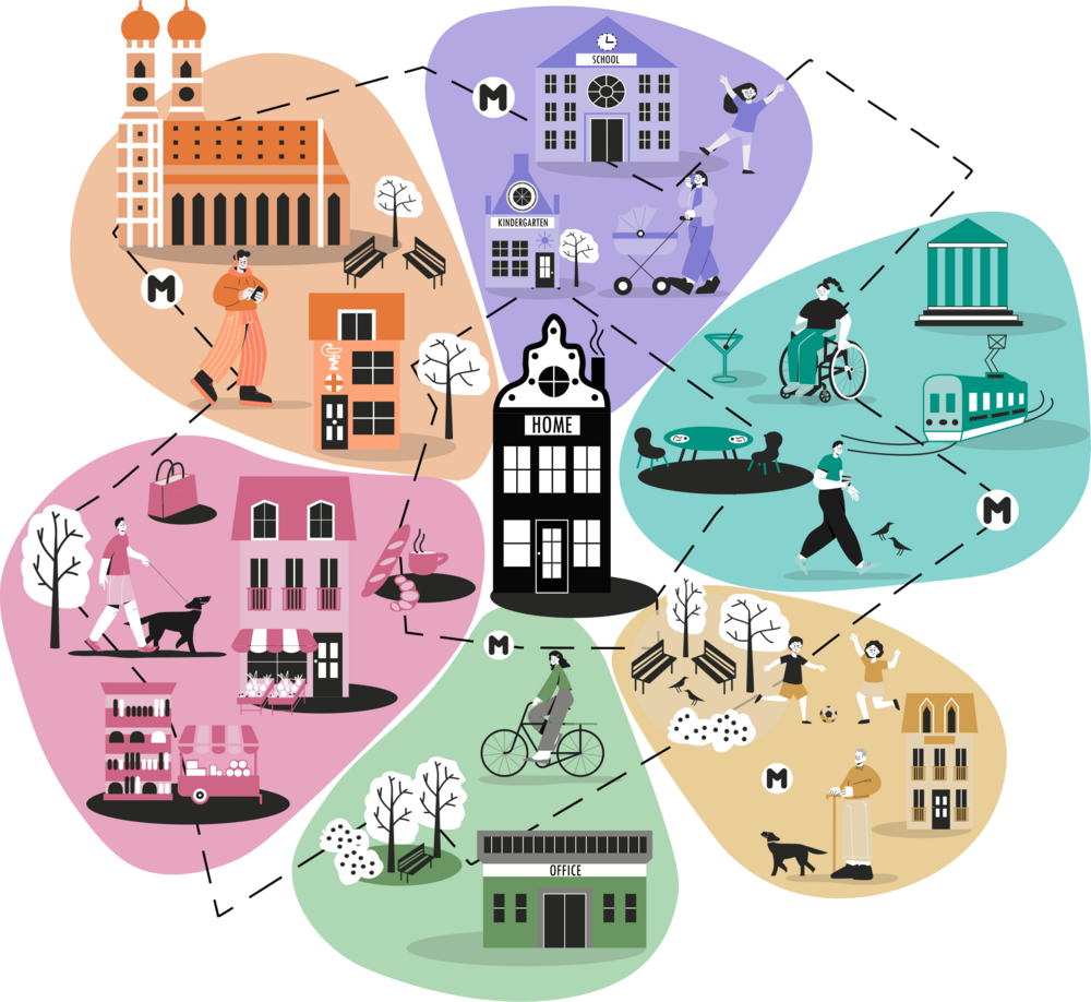
Measuring the 15-min city: Flowers of Proximity
The flowers are a planning tool that invites participants to look beyond their current travel routines by imagining instead how they would like to get around. This perspective grounds accessibility planning in people's needs and desires, helping make cities more livable, sustainable, and fair.
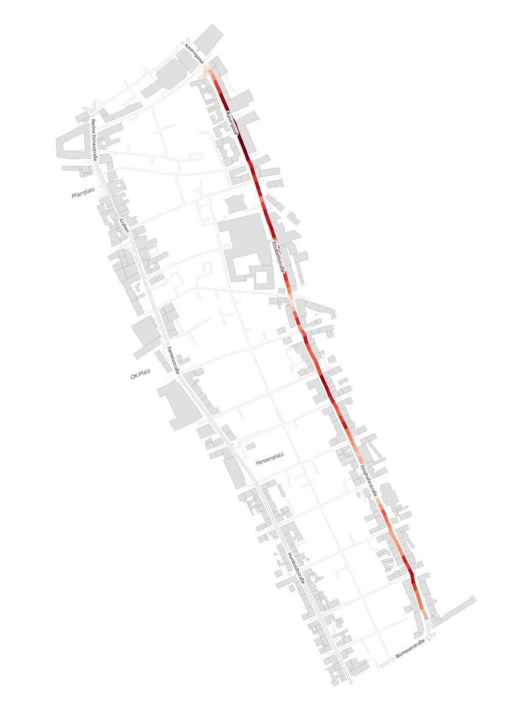
Measuring the speed of public transport
"We can’t reduce the speed limit on this road because the busses would lose time!“ This or similar arguments may come up in discussions about street transformations. In those situations, it can help to bring evidence into the discussion. For example by measuring the speed of busses. Read more about how we did it:
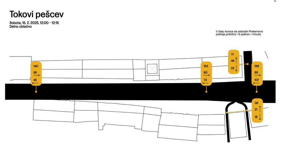
Observing and visualising human behaviour in public space
Collecting data on how people use space can give you a solid foundation to discuss how it should be designed. These apps can help you to collect your data.
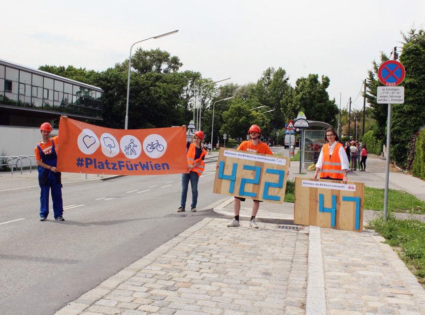
Staging evidence for safer school streets
Excel sheets come to your mind when thinking of evidence? Think twice! The initiative "Wir machen Wien" showed powerfully how to not only collect valuable evidence, but also how to stage it in a dramatic way.